Contents
About the author

Edward A. St. Germain created AmericanRevolution.org in 1996. He was an avid historian with a keen interest in the Revolutionary War and American culture and society in the 18th century. On this website, he created and collated a huge collection of articles, images, and other media pertaining to the American Revolution. Edward was also a Vietnam veteran, and his investigative skills led to a career as a private detective in later life.
Contents
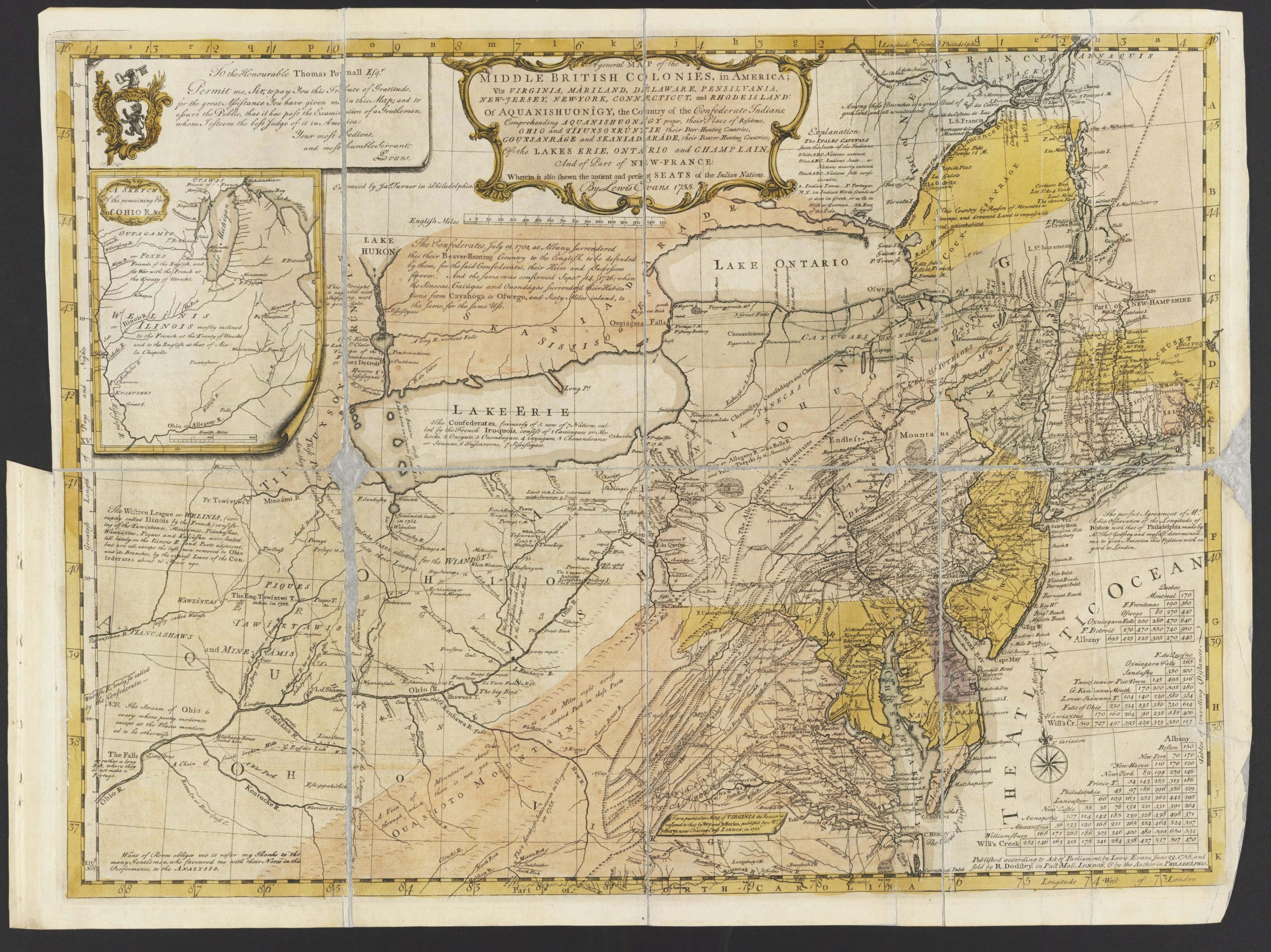
The geography of the Middle Colonies in British North America was characterized by rich, fertile soils and a large system of rivers and estuaries, which were significant economic assets for the region.
Terrain
The terrain of the Middle Colonies was diverse, varying between inland and coastal regions, and from colony to colony.
- The coastal plains along the shores of Delaware, New York, and New Jersey featured flat, marshy terrain, with sandy soil that was not ideal for farming. Some of these areas had deep water, making them ideal places to build ports.
- Further inland was the Piedmont plateau, which stretched through the Middle Colonies from the southwest to the northeast. It featured rolling hills and fertile soil, with good drainage.
- Northwest New Jersey, eastern Pennsylvania, and the lower Hudson were home to the region’s highlands. The terrain here was rocky, with steep hills, meaning there were few farms, and travel was often difficult. Iron ore was mined in this area.
- The Appalachian plateau stretched through much of Pennsylvania and upstate New York. These regions were heavily forested, making them a key source of lumber in the Middle Colonies.
Soil and agriculture
The soil in the Middle Colonies was ideal for farming, especially along the Piedmont plateau.
There were large areas of rich, fertile soil, and the ground was mostly free of rocks, unlike in New England. Along with the relatively mild weather the Middle Colonies experienced, this led the region to become an agricultural hub in the 18th century.
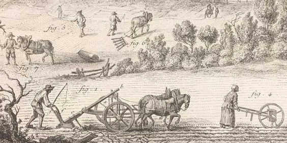
In fact, the Middle Colonies were known as the breadbasket of the New World, thanks to the volumes of staple crops such as maize, wheat, and barley they produced.
Waterways and the ocean
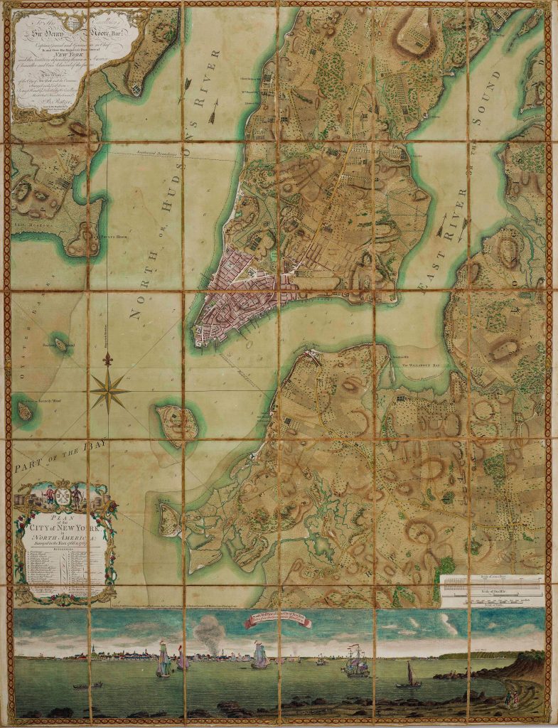
The Hudson and Delaware Rivers and their associated estuaries were crucial waterways for the Middle Colonies. These two rivers were wide and easy to navigate, helping them facilitate transport and trade throughout the colonies.
The Susquehanna and Mohawk Rivers were also crucial for travel and logistics in the Middle Colonies.
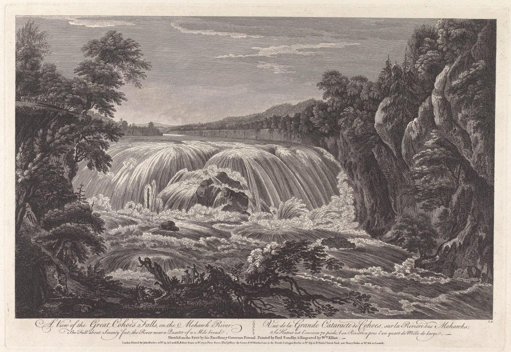
Further inland, these rivers would hit the Fall Line – where the terrain features an abrupt rise as the soft sediment of the Atlantic coast meets the hard bedrock of the Piedmont plateau.
The Fall Line created waterfalls, which were the perfect place to build mills and forges, leading to the establishment of industry in towns such as Brandywine, Trenton, and Manayunk. These plants were then used to do things like turn grain into flour, create paper from linen and cotton rags, and manufacture iron products such as pots and pans.
In coastal regions, such as around Long Island, lakes and lagoons were used by colonists to catch fish, crabs, clams, and other shellfish.
Thanks to its position at the mouth of the Hudson, its plentiful shoreline, and deep, sheltered water, New York became one of the most important Atlantic ports in the Thirteen Colonies. The port of Philadelphia was also a key shipping outpost in the New World.
Forests and lumber
The Middle Colonies had plentiful sources of timber in the Appalachian Mountains and highlands, as well as in more coastal areas, such as the New Jersey Pine Barrens and Delaware Bay lowlands.
Cedar and oak from the Middle Colonies was often exported to New England, or used by the local shipbuilding industry.
Iron ore mining
There were plentiful iron ore deposits in the Middle Colonies, especially in Pennsylvania.
This resource was mined around the highlands, PA’s Great Valley, New Jersey Pine Barrens, the upper Hudson, and Iron Hill in Delaware.
Climate
The Middle Colonies enjoyed a relatively mild, temperate climate compared to other British settlements in North America.
The weather was relatively humid, with warm to hot summers, and cool to cold winters. Snowfall was common, though annual totals were typically less than 30 inches per year on the coastal plain, they could reach 50 inches per year or more in the interior at higher elevations.
Rainfall was relatively even throughout the year, though summer thunderstorms were common, especially along the coast.